| Projects: Name / Description: |
GRASS Location | GRASSLinks Project Code |
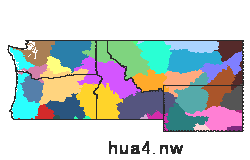
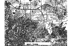
| Pacific Northwest Land Use and Ecoregions | nw_nl | a |
| Degree-day maps for Oregon | OR_ll | d |
| B. A. Croft's Apple Mite Survey Database | nw_nl | e |
| Degree-day Calculator: W. US | nw_nl | l |
| Degree-day Calculator Map Interface for Oregon | OR_ll | m |
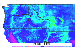
| Degree-day Calculator: NW States | nw_nl | n |
| Degree-day Calculator: Oregon | nw_nl | o |
| Degree-day Calculator: Washington | nw_nl | p |
| Degree-day Calculator: Idaho | nw_nl | q |
| Degree-day Calculator: Montana | nw_nl | r |
| Degree-day Calculator: Wyoming | nw_nl | s |
| Degree-day Calculator: Mid-Columbia OR | nw_nl | t |
| Degree-day Calculator: Medford OR | nw_nl | u |
| Cutworm Monitoring: MT, ID, WY | nw_nl | w |
| Spearfish GRASS example dataset | spearfish | x |
| Global GRASS example dataset | global | y |
| RASTER FILES: Name / Description: Click filename to view thumbnail |
Metadata Available? | GRASSLinks Project(s): |
|
1000m Forest Cover from LULC |
N | enopqrsw |
|
200m Forest Cover from AVHRR |
Y | enopqrsw |
|
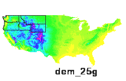
30sec elevation DEM |
N | aenopqrsw |
|
4-digit hydrologic unit areas 4-digit hydrologic unit areas 1k resol: Source CAGSR-BRC/TAES |
Y | aenopqrstuw |
|
4K resol. Elevation |
Y | dm |
|
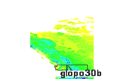
500m resol. Elevation Gtopo30 |
Y | dm |
|
8-digit hydrologic unit areas 8-digit hydrologic unit areas 200m resol: Source CAGSR-BRC/TAES |
Y | aenopqrstuw |
|
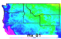
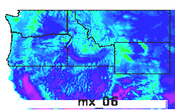
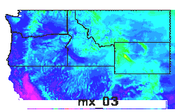
Apr Max Temperatures |
Y | aenopqrstuw |
|
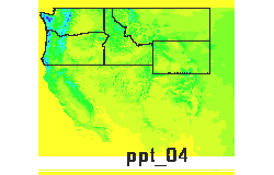
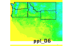
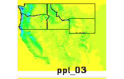
Apr precipitation |
Y | aenopqrstuw |
|
Army Cutworm deviation from normal DDs Jan. 1 - yesterday (45F threshold) |
Y | rw |
|
Army cutworm degree-day risk rating |
Y | w |
|
Army cutworm larval density risk rating |
Y | w |
|
Army cutworm larval size risk rating |
Y | w |
|
Army cutworm moisture risk rating |
Y | w |
|
Army cutworm moth density risk rating |
Y | w |
|
Aug Max Temperatures |
Y | aenopqrstuw |
|
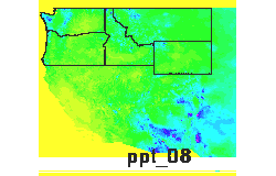
Aug precipitation |
Y | aenopqrstuw |
|
Avg annual Max Temperatures |
Y | aenopqrstuw |
|
Avg daily max temperatures in July (x10) |
Y | dm |
|
Base 32 DDs |
Y | aenopqrstuw |
|
Base 32 deviation from normal DDs Jan. 1 - yesterday (32F threshold) |
Y | n |
|
Base 34 DDs |
Y | aenopqrstuw |
|
Base 38 DDs |
Y | aenopqrstuw |
|
Base 41 DDs |
Y | aenopqrstuw |
|
Base 41 deviation from normal DDs Jan. 1 - yesterday (41F threshold) |
Y | s |
|
Base 42 DDs |
Y | aenopqrstuw |
|
Base 44 DDs |
Y | aenopqrstuw |
|
Base 46 DDs |
Y | aenopqrstuw |
|
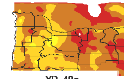
Base 48 DDs |
Y | aenopqrstuw |
|
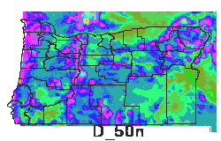
Base 50 DDs |
Y | aenopqrstuw |
|
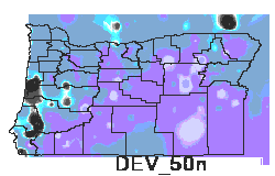
Base 50 deviation from normal DDs Jan. 1 - yesterday (50F threshold) |
Y | s |
|
Combined risk index for army cutworm |
Y | w |
|
Combined risk index for pale western cutworm |
Y | w |
|
Crops and Pasture Lands |
Y | dm |
|
Curr. yr DDs to date 32 low threshold (x10) |
Y | dm |
|
Curr. yr DDs to date 50 low thresh. (x10) |
Y | dm |
|
DDs 33 low thresh. (x10) |
Y | dm |
|
DDs 35 low thresh. (x10) |
Y | dm |
|
DDs 37 low thresh. (x10) |
Y | dm |
|
DDs 39 low thresh. (x10) |
Y | dm |
|
DDs 41 low thresh. (x10) |
Y | dm |
|
DDs 43 low thresh. (x10) |
Y | dm |
|
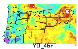
DDs 45 low thresh. (x10) |
Y | dm |
|
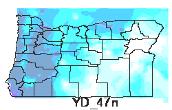
DDs 47 low thresh. (x10) |
Y | dm |
|
DDs 49 low thresh. (x10) |
Y | dm |
|
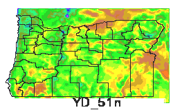
DDs 51 low thresh. (x10) |
Y | dm |
|
Dec Max Temperatures |
Y | aenopqrstuw |
|
Dec precipitation |
Y | aenopqrstuw |
|
Dev. DDs to date 50 low threshold (x10) |
Y | dm |
|
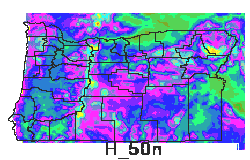
Elevation (30m res.) Elev. from USGS |
Y | t |
|
Elevation 100m Elevation (DEM) at 100m resol: Source USGS |
Y | aenopqrstu |
|
Elevation 1k Elevation (DEM) at 1km resol: Source USGS |
Y | aenopqrstuw |
|
Elevation DEM |
Y | x |
|
Feb Max Temperatures |
Y | aenopqrstuw |
|
Feb precipitation |
Y | aenopqrstuw |
|
Hist. DDs to date 32 low threshold (x10) |
Y | dm |
|
Hist. DDs to date 50 low threshold (x10) |
Y | dm |
|
Interpolated pale western cutworm trap densities |
Y | w |
|
Jan Max Temperatures |
Y | aenopqrstuw |
|
Jan precipitation |
Y | aenopqrstuw |
|
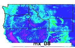
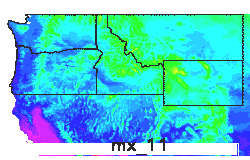
Jul Min Temperatures |
Y | aenopqrstuw |
|
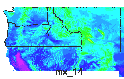
Jun Max Temperatures |
Y | aenopqrstuw |
|
Jun precipitation |
Y | aenopqrstuw |
|
Land Use USGS |
Y | aenopqrsw |
|
Landuse |
Y | x |
|
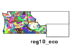
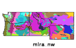
Level IV Ecoregions - OR, WA, ID from EPA |
Y | aenopqrstuw |
|
Major Land Resource Areas Major Land Resource Areas 1k resol: Source CAGSR-BRC/TAES |
Y | aenopqrstuw |
|
Mar Max Temperatures |
Y | aenopqrstuw |
|
Mar precipitation |
Y | aenopqrstuw |
|
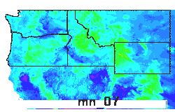
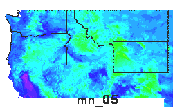
May Min Temperatures |
Y | aenopqrstuw |
|
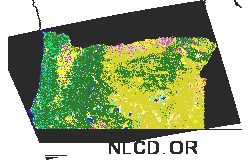
National Land Cover Data (30m) From USGS |
Y | aenopqrstu |
|
Nations |
Y | y |
|
Nations 2 |
Y | y |
|
Nov Max Temperatures |
Y | aenopqrstuw |
|
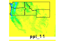
Nov precipitation |
Y | aenopqrstuw |
|
Oct Min Temperatures |
Y | aenopqrstuw |
|
Orchards Land Use |
Y | dm |
|
Orchards and Vineyards |
N | a |
|
Pale western cutworm DDs Jan. 1 - yesterday (50F threshold) |
Y | rw |
|
Pale western cutworm deviation from normal DDs Jan. 1 - yesterday (50F threshold) |
Y | rw |
|
Pale western cutworm larval size risk rating |
Y | w |
|
Pale western cutworm moisture risk rating |
Y | w |
|
Pale western cutworm moth density risk rating |
Y | w |
|
Pale western cutworm normal (average) DDs Jan. 1 - yesterday (50F threshold) |
Y | rw |
|
SW OR Shaded relief Derived from elevation at 100m |
Y | aenopqrstu |
|
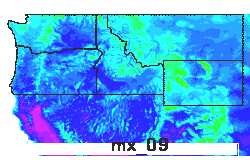
Sep Max Temperatures |
Y | aenopqrstuw |
|
Sep precipitation |
Y | aenopqrstuw |
|
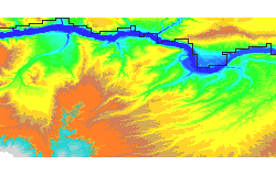
Shaded Relief 100m Shaded relief (from DEM) at 100m resol: Source USGS |
Y | aenopqrstu |
|
Shaded relief based on 30sec elevation |
N | aenopqrsw |
|
Soil Class |
Y | y |
|
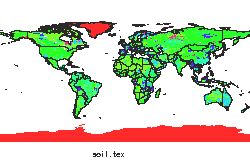
Soil Texture |
Y | y |
|
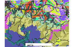
Soils |
Y | x |
|
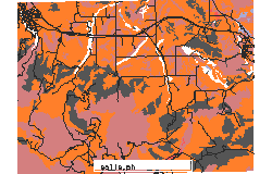
Soils PH |
Y | x |
|
Spot Image |
Y | x |
|
States |
Y | enopqrsw |
|
Vegetation 1 degree res. |
Y | y |
|
Vegetation Cover |
Y | y |
|
Yearly Precipitation |
Y | aenopqrstuw |
|
hi-res (30m) Land Use Will. Valley OR |
Y | ano |
| VECTOR FILES: Name / Description Click filename to view thumbnail |
Metadata Available? | GRASSLinks Project(s): |
| 8-Dig hydro unit areas |
Y | ademw |
| County lines |
N | aenopqrstuw |
| Crop and pasture |
N | aenopqrstuw |
| Fields |
N | x |
| Highways |
N | dm |
| L. III Ecoregions - USA |
N | aenopqrstuw |
| L. IV Ecoregions - MT |
N | aenrw |
| L. IV Ecoregions - NV draft |
N | aenopqrs |
| L. IV Ecoregions - OR, WA, ID |
N | aenopqrstuw |
| L. IV Ecoregions - UT |
N | aenw |
| Major Land Resource Areas |
Y | ademnopqrstuw |
| Major Roads - ID |
N | qw |
| Major Roads - ID MT WY |
N | w |
| Major Roads - MT |
N | rw |
| Major Roads - OR |
N | o |
| Major Roads - WA |
N | p |
| Major Roads - WY |
N | sw |
| Major roads |
N | aenopqrstuw |
| Nations |
N | y |
| Orchards & vineyards |
N | aenopqrstuw |
| Railroads |
N | dm |
| Rails |
N | x |
| Rangelands |
N | aenopqrstuw |
| Roads |
N | x |
| STATSGO soils |
N | aenopqrstuw |
| Soils |
N | x |
| State lines |
N | aenopqrstuw |
| Urban boundaries |
N | dm |
| Water bodies |
N | aenopqrstuw |
| Water except streams & rivers |
N | dm |
| streams |
N | x |
| SITES FILES: Name / Description Click filename to view thumbnail |
Metadata Available? | GRASSLinks Project(s): |
| 1971-2000 historical average data - degree-day calculator |
Y | daenopqrstu |
| Apple mites database |
Y | ae |
| Army cutworm degree-days |
N | w |
| Army cutworm larval density |
N | w |
| Army cutworm larval size |
N | w |
| Army cutworm moisture |
N | w |
| Army cutworm moth counts |
N | w |
| Army cutworm summary risk |
Y | w |
| Avg. DDs to date at wea. stations- 41 base (x10) |
N | dm |
| Avg. Weather station file |
N | rq |
| Curr. DDs to date at wea. stations- 32 base (x10) |
N | dm |
| Curr. DDs to date at wea. stations- 41 base (x10) |
N | dm |
| Current weather data - degree-day calculator |
Y | daenopqrstu |
| Current weather station names |
N | dm |
| Cutworm degree-day risk |
Y | w |
| Cutworm larval risk |
Y | w |
| Cutworm monitoring sites |
N | w |
| Cutworm moth count risk model |
Y | w |
| Cutworm risk summary |
N | w |
| Cutworm weather risk |
Y | w |
| DDs 41 base (x10) |
N | dm |
| Degree-day model |
Y | daenopqrstu |
| ID place names |
N | qw |
| Larval density risk |
Y | w |
| MT place names |
N | rw |
| NW city & town names |
N | daenopqrstu |
| NW place names |
N | aenotu |
| OR Current weather station file names |
N | nopqrstu |
| OR place names |
N | aenotu |
| Palewest cutworm degree-days |
N | w |
| Palewest cutworm larval density |
N | w |
| Palewest cutworm larval size |
N | w |
| Palewest cutworm moisture |
N | w |
| Palewest cutworm moth counts |
N | w |
| Palewest cutworm risk summary |
N | w |
| Palewest cutworm summary risk model |
Y | w |
| Site labels for apple mites database |
N | e |
| WA place names |
N | p |
| WY place names |
N | sw |
| Weather station file |
N | rq |
| archeological sites |
N | x |
| bug sample sites |
N | x |
Disclaimer: Use of GRASSLinks and the data accessed by it is provided as-is without any guarantees of quality, completeness, currentness, or performance. For more information, see the GRASSLinks (c) Copyright and Disclaimer.